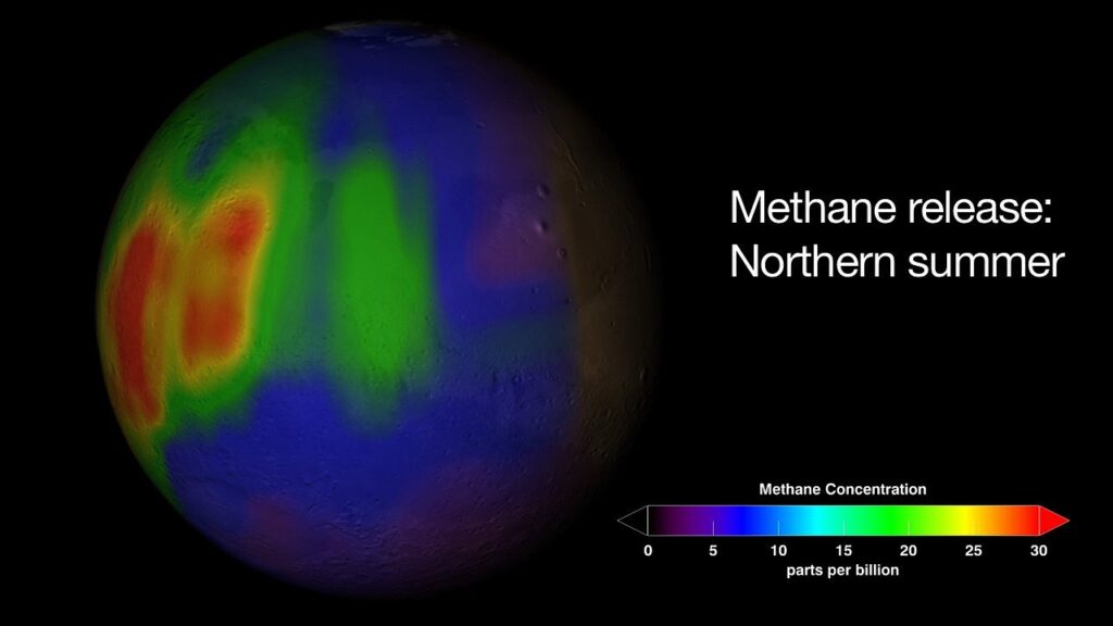
In a groundbreaking move that could redefine climate accountability, Google has partnered with the Environmental Defense Fund to launch a satellite project that will map methane emissions across the globe. This initiative, set to launch in March, is poised to provide unprecedented insights into one of the most potent greenhouse gases affecting our planet.
Methane, a gas that traps heat and significantly contributes to global warming, has been a major concern for scientists and environmentalists alike. While a significant portion of methane emissions comes from farming and waste disposal, this project will zero in on emissions from the oil and gas industry, notorious for burning or venting methane.
The satellite, which will orbit the Earth 15 times per day at an altitude of 300 miles, is equipped with advanced spectrometers and software designed to detect methane. Google’s prowess in artificial intelligence will be harnessed to process the data and create a comprehensive methane map. This map will pinpoint leaks in oil and gas infrastructure worldwide, although Google has stated it will not directly notify companies responsible for significant leaks. Instead, the information will be made available to governments and regulators, who will have the authority to enforce changes.

The EU has taken steps to reduce methane emissions, including mandating oil and gas operators to repair leaks and banning flaring in the coal sector from 2025. However, there is no international rule on controlling methane emissions, making this project all the more critical.
Despite existing efforts to track methane, such as the European Space Agency’s Tropomi satellite instrument, levels of the gas remain alarmingly high. NASA reports that methane levels have more than doubled in the last two centuries, with 60% of it being generated by human activities. Livestock, particularly cows, are a significant source of methane due to their digestive processes.
The new satellite project aims to “fill gaps between existing tools” and provide a more comprehensive understanding of methane emissions. Google’s map, to be published on its Earth Engine, will not be real-time but will offer data updates every few weeks.
The collaboration between Google and the Environmental Defense Fund comes at a time when the world is taking stronger stances on reducing methane leaks. With the Biden administration announcing new rules for monitoring and repairing leaks and the EU setting stricter standards, the stage is set for a more robust approach to tackling methane emissions.
Google’s initiative is not just about mapping methane; it’s about transparency and accountability. With the power of satellites and AI, the veil of secrecy that often shrouds oil and gas operations could be lifted, providing a clearer picture of where and how methane is being emitted.
As we look towards a future where climate action is increasingly urgent, projects like Google’s methane map are a beacon of hope. They represent a fusion of technology and environmental stewardship, offering a path to a more sustainable and accountable world.
Related posts:
Google joins mission to map methane from space
A new satellite will use Google’s AI to map methane leaks from space
Google is making a map of methane leaks for the whole world to see


